


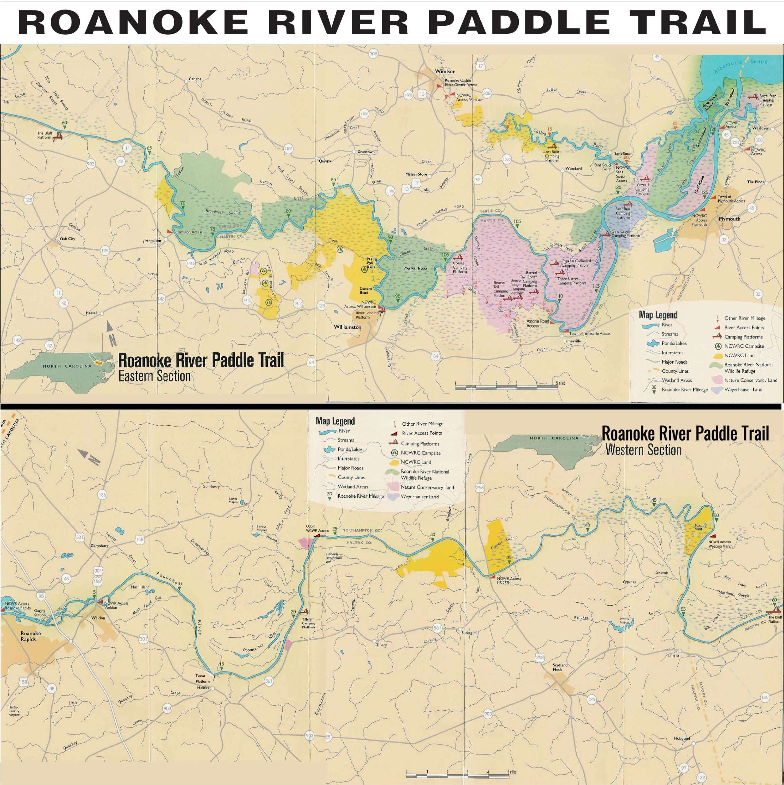
Description
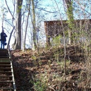
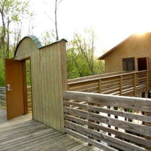
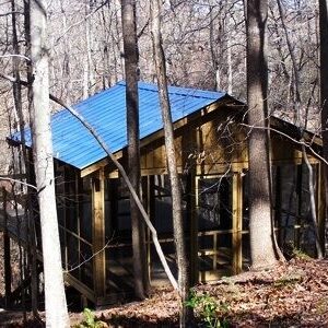
Tusca Landing is currently our farthest upper river platform and offers some unique exploration opportunities. It features an open camping platform as well as a covered, screened platform and has an in-ground toilet (no bucket needed) nearby. The campsite is tucked into a picturesque bend in the river surrounded by trees, but next to an open field. Each platform is 14 ft x 16 ft. A set up steps go down to the river.
Walk less than 125 yards from the camping platform, and you will see a marker for the NC Civil War Trail on the bluff of the river. This marker denotes the area in the Roanoke River where the waters were deep enough for the outfitting of the Civil War ironclad, the CSS Albemarle, in 1863-4. The Albemarle was one of the most successful of the ironclads, sinking 29 Federal vessels before being torpedoed and sunk near Plymouth on October 27, 1864.
Walk approximately one-half mile from here to the Historic Halifax State Historic Site. There is a Visitors Center with exhibits and a brief movie. Take a walking tour of nine historic structures, including a tavern, tap room, jail, clerk’s office, archaeological structure and private homes. Have a picnic in market square. Walk through a revolutionary-era cemetery. Take photos by one of the oldest and largest paper mulberry trees in America.
Once you have toured the Historic Site, be sure to take a stroll along King Street into downtown Halifax.
You will drive to the end of Dobbs Street. Park at the gate to unload your car. You will need to walk about 1000 feet to the campsite. Once you have unloaded your gear, please park your car in the Historic Halifax Visitor Center parking lot.