


Description
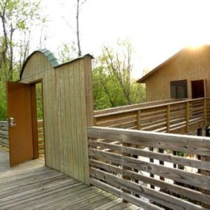
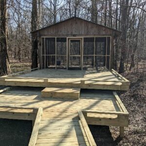
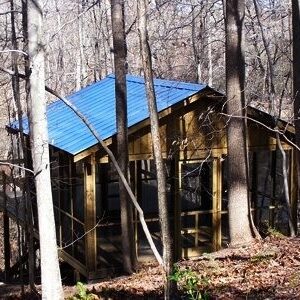
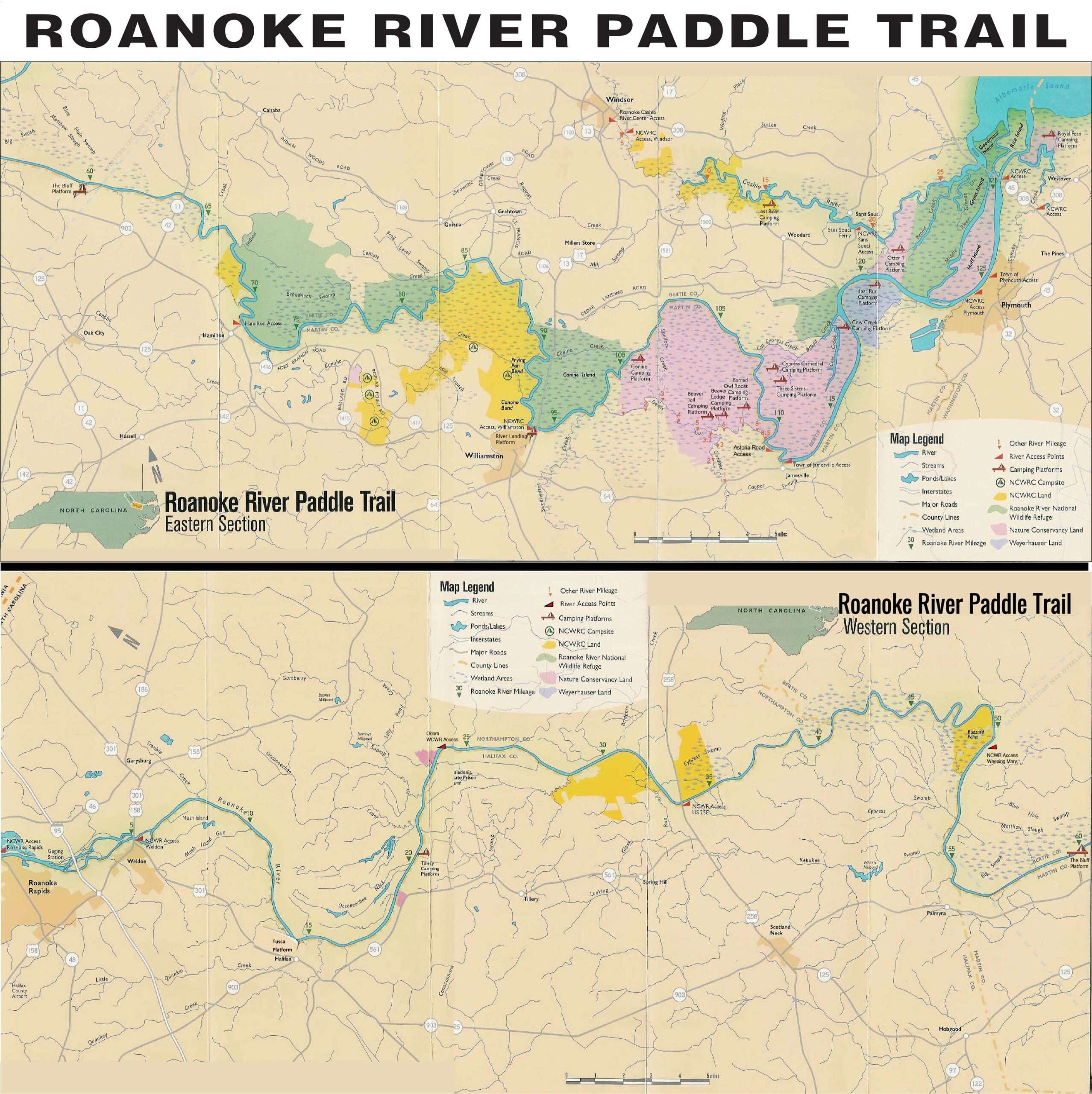
The first land-based campsite on the Roanoke for RRP, this unique location offers a roofed and screened camping deck, an open deck, and a separate privy…all with a spectacular view of the Roanoke from high atop a bluff. Both the screen-enclosed and the open platforms measure 12′ x 16′. Steps lead from the river to the top of the bluff. Position more tents around the two camping structures and create a good camp site for larger groups. The privy is tucked in the woods 60 steps from the screened in cabin and 20 steps down a path.
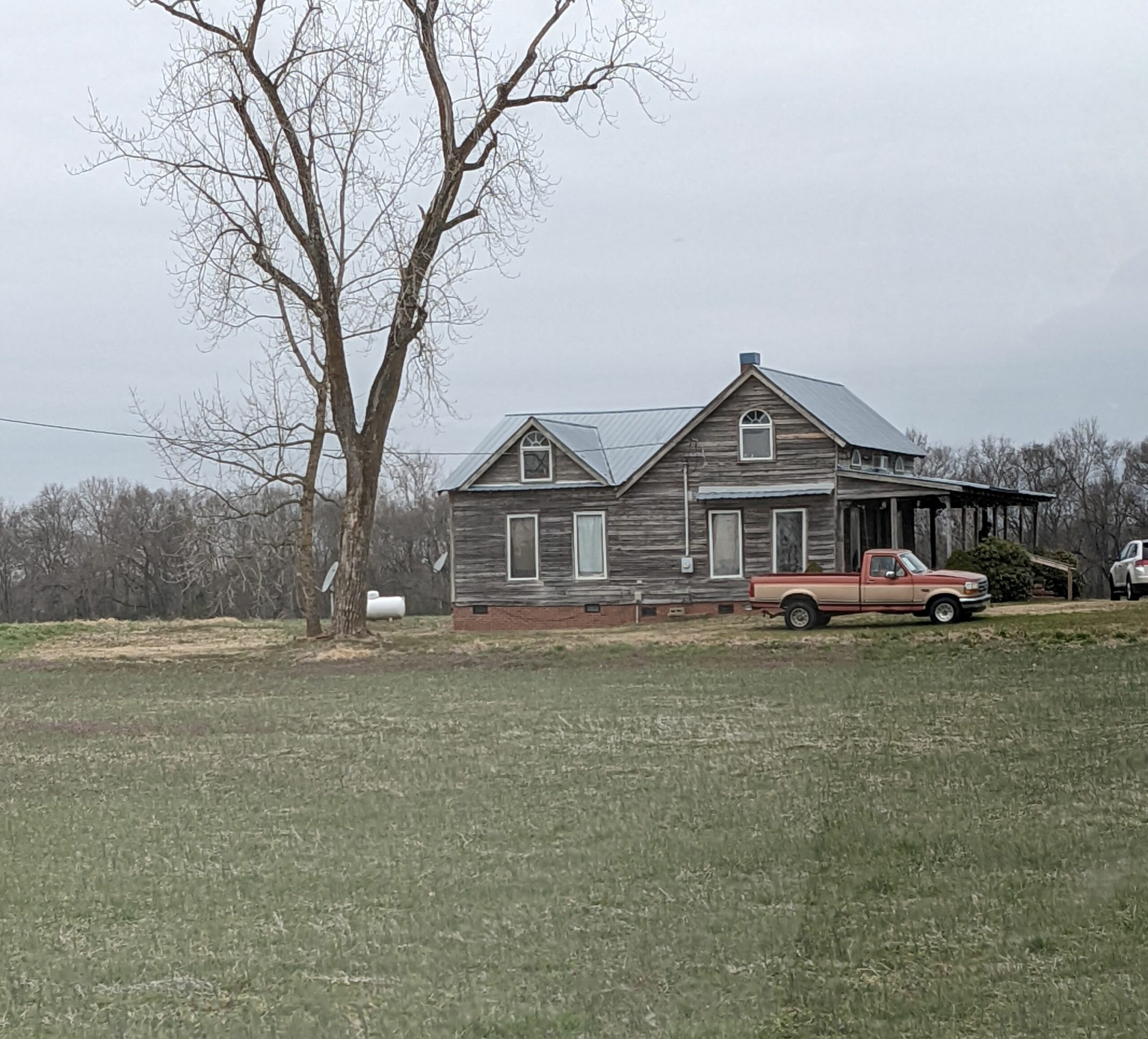
The fire ring allows open fires (which MUST be completely extinguished before leaving campsite). This site also has an historical side. The name, Tillery, comes from the nearby 1940s African-American New Deal resettlement community. This site is also accessible by land. Get directions. The photo here, mentioned in the directions of a wooden frame farmhouse with a blue metal roof, is where you turn off of the hard surfaced road to drive on the dirt path to the Tillery campsite.